
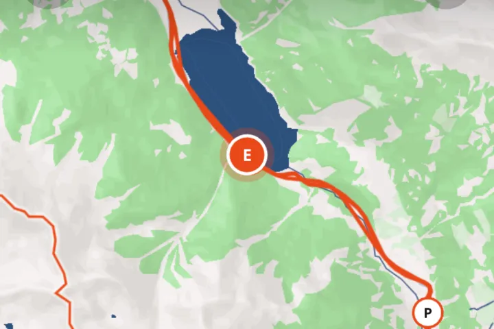
How it works
Choose one trip
Pick that trip's photos and videos from your camera roll, up to 120 in total.
Upload to Troven
Troven reads each file's time and location in your browser and places it on the map.
Review the stops
Nearby photos form one stop, named after the place. Reorder, add or remove stops as you like.
Save the map
Your trip gets a page with an interactive map. Make it public and anyone can open it from the link.
Where the location comes from
Most phones save the place and time a photo was taken inside the image file, in what is called EXIF data. Troven reads that data directly in your browser when you pick the photos. There is nothing to install and nothing to record during the trip.
Check two things before you start:
- Camera location was on. If location access was off for the camera app, the photos have no place saved.
- You are using the originals. Photos that went through WhatsApp, Instagram or a screenshot usually lose their location.
On Android, browsers remove the location from photos when you pick them, while videos keep theirs. If you can, copy the originals to a computer and upload them there: desktop browsers keep the location. Otherwise, describe the trip or place the stops yourself.
How photos become stops
Troven sorts the photos by time. Photos taken within a few hundred metres of each other become one stop, named after the landmark or place nearby. Coming back to a place later in the trip starts a new stop, so the map reflects the order you actually moved in. Days follow the dates on your camera.
Making the map right
- Drag stops to reorder them.
- Add a stop by searching for a place or tapping the map.
- Set how you travelled each leg; road legs follow the roads, flights and cable cars are drawn as arcs.
- Drag the route points where the line takes the wrong road.
Before you make it public
A public trip shows a marker for every photo at the spot it was taken. Read how to keep sensitive places off your travel map before you share it.
Questions, answered
Do my photos have location data?
Does Troven track my location while I travel?
Can I make a map from photos without GPS?
Can I import a trip from Google My Maps?

Your photos already hold the trip.
Upload them and see your route, map and itinerary come together. Free on the web.
Keep reading
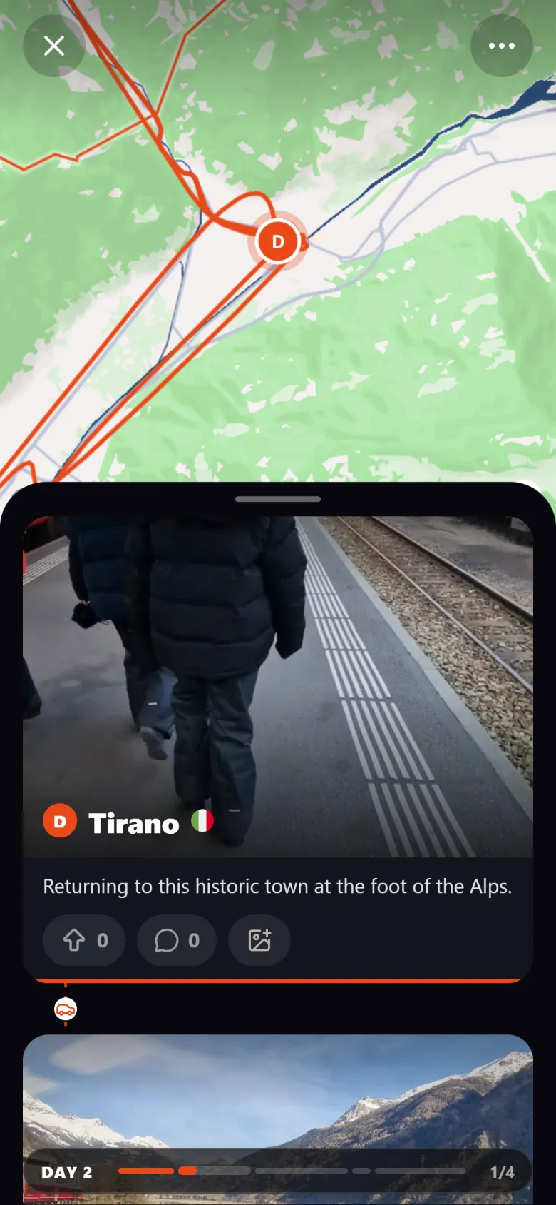 ProductCreate an interactive travel map from your photosTroven reads the location saved in your trip photos and builds an interactive travel map with your route, your stops and your photos. Free on the web.
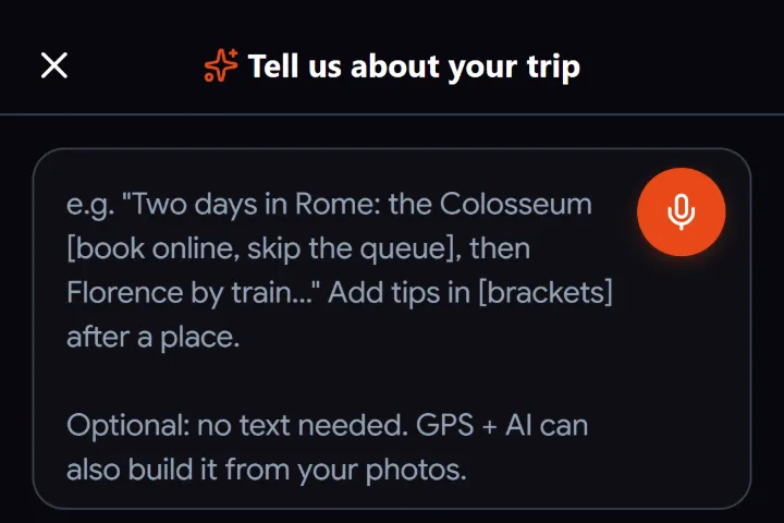 GuideWhat to do when travel photos have no GPS dataWhy some travel photos have no location, how to check, and four ways to still get them on your trip map, from time matching to AI place recognition.
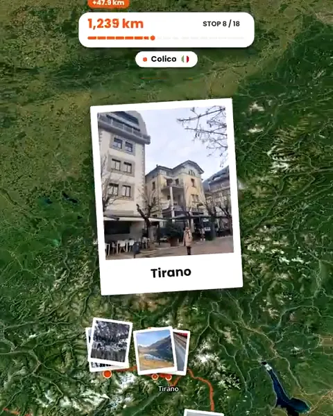 GuideHow to create travel maps without background location trackingHow to make a travel map from the photos you choose instead of tracking your trip, what a published map shows, and how to keep sensitive places off it.